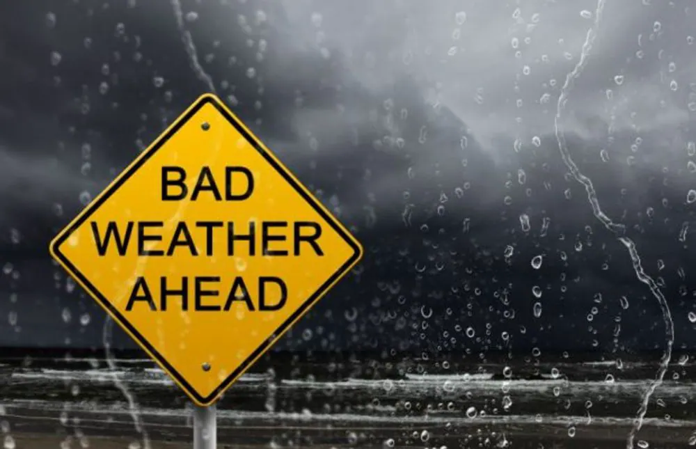
The South African Weather Service has issued Yellow Level 2 warnings for severe thunderstorms across Gauteng and parts of North West and Limpopo. Heavy downpours, strong damaging winds, hail, and excessive lightning are expected, with the weather service warning that the storms could lead to localised flooding of susceptible roads, low-lying areas, and bridges, as well as damage to settlements and infrastructure.
Gauteng is expected to remain cloudy and cold throughout the day, with scattered showers and thundershowers. The province falls within the Yellow Level 2 severe thunderstorm warning area, placing residents at risk of heavy downpours, hail, damaging winds, and excessive lightning. Motorists have been urged to take particular care where heavy rainfall affects roads, with localised flooding possible in vulnerable areas.
Limpopo and Mpumalanga are also expected to experience cold and stormy conditions. Limpopo will be cloudy and cold, with scattered showers and thundershowers, while Mpumalanga can expect cloudy and cold to very cold conditions accompanied by scattered showers and thundershowers. Rainfall forecasts indicate a 60% chance of scattered showers and thunderstorms across much of Gauteng, Limpopo, and Mpumalanga.
A separate Yellow Level 2 warning for damaging winds has been issued for Nelson Mandela Bay and Buffalo City, as well as the Ndlambe, Ngqushwa, and Sundays River Valley municipalities in the Eastern Cape. The winds could cause localised damage to settlements, disrupt beachfront activities, and create difficult navigation conditions.
The Free State and KwaZulu-Natal are also expected to experience scattered showers and thundershowers, with isolated showers and rain forecast for KwaZulu-Natal, translating to about a 30% chance across affected areas. The Free State will be cloudy in the east at first before becoming partly cloudy, windy, and cold to cool.
While the north-eastern interior deals with storms and cold weather, parts of the Western and Northern Cape face a very different threat. Extremely high fire danger conditions are forecast for Matzikama, Cederberg, and Bergrivier municipalities in the Western Cape and Kamiesberg in the Northern Cape. Extremely hot and uncomfortable conditions are also expected in Kamiesberg.
The South African Weather Service has urged residents to take necessary precautions to ensure their safety during the severe thunderstorms. Ekurhuleni emergency teams are on standby as the South African Weather Service warns of severe thunderstorms, heavy rain, lightning, hail, and possible localised flooding.
Key points
- The South African Weather Service has issued Yellow Level 2 warnings for severe thunderstorms across Gauteng and parts of North West and Limpopo.
- Heavy downpours, strong damaging winds, hail, and excessive lightning are expected, with the weather service warning that the storms could lead to localised flooding and damage to settlements and infrastructure.
- Extremely high fire danger conditions are forecast for parts of the Western and Northern Cape.