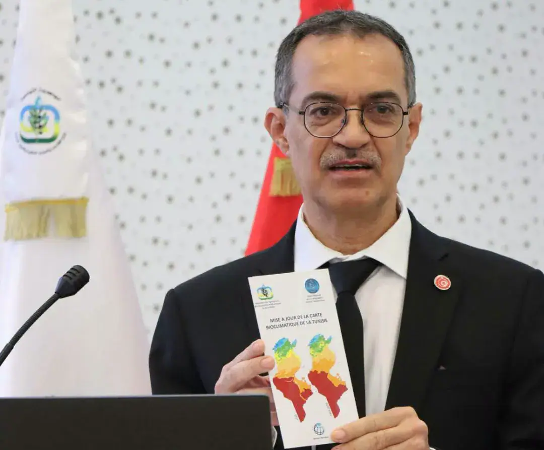
Tunisia's Minister of Agriculture, Water Resources and Maritime Fishing, Azzedine Ben Cheikh, announced on November 4, 2026, that the country's bioclimatic map is being updated for the first time since 1976. The original map no longer accurately reflects the current climatic characteristics of different regions due to rapid climate change over the past few decades. This update is crucial for providing reliable data to support future agricultural planning.
The Ministry of Agriculture, Water Resources and Maritime Fishing commissioned the National Center for Cartography and Remote Sensing to update the bioclimatic map in December 2025. The project is funded by the World Bank as part of the Emergency Response to Food Security project (PRUSA). The update aims to integrate the latest climate data, redefine bioclimatic zones and their various categories, monitor emerging local climates, and forecast climate trends in the short and medium terms.
The updated bioclimatic map will be incorporated into a geographic information system, providing a sophisticated database to support decision-making and guide agricultural policies. This will improve resource management, enhance the resilience of production systems to climate fluctuations, and help mitigate the impacts of climate change on agriculture. The agricultural sector contributes around 10% to Tunisia's GDP, making it essential to address climate-related challenges.
Climate change poses significant challenges to Tunisia's agriculture, including rising temperatures, declining rainfall, and increased frequency of droughts and floods. These changes strain water resources and affect agricultural productivity, particularly in dry and coastal areas. The updated bioclimatic map will help the sector adapt to these changes and reduce potential losses, which are expected to range between 5% and 10% of the sector's GDP by 2030.
To ensure a collaborative approach, five workshops were organized with various regional agricultural development delegations to review and validate the updated map. Additional training sessions will be held in November for representatives of regional delegations and system managers to ensure effective use of the new tool and its data in planning and monitoring activities.
Minister Ben Cheikh emphasized the strategic importance of updating the bioclimatic map, which will serve as a foundation for reviewing the agricultural map. This will enable planning structures to direct the geographic distribution of various crops according to bioclimatic characteristics and areas of agricultural suitability, ultimately improving agricultural productivity and sustainability.
The updated bioclimatic map is expected to play a critical role in enhancing Tunisia's agricultural planning and resilience to climate change. By integrating the latest climate data and providing a reliable tool for decision-making, the map will help the country mitigate the impacts of climate change on its agricultural sector and ensure a more sustainable future.
Key points
- The updated bioclimatic map will help Tunisia's agricultural sector adapt to climate change by providing reliable data for planning and decision-making.
- The project is funded by the World Bank as part of the Emergency Response to Food Security project (PRUSA).
- The updated map will be incorporated into a geographic information system to support decision-making and guide agricultural policies.