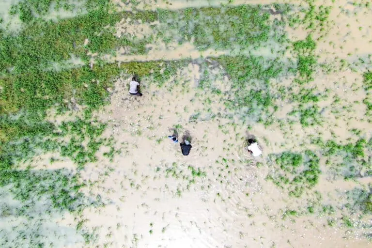
Senegal has begun utilizing artificial intelligence (AI) to monitor and map crops, aiming to improve agricultural management and help the country cope with the effects of climate change. The technology, developed by researchers at the University of Cambridge, enables Senegal to better identify crop types and locations using satellite data. This innovation was tested between 2018 and 2021 in the Bassin arachidier region, a major agricultural area in Senegal.
The research, published in the Environmental Research: Food Systems journal on September 29, 2026, reveals that the Tessera technology can distinguish between crop types with an accuracy of 84%. This approach requires minimal computing power compared to traditional methods of creating crop maps using satellite data. According to researchers, this method can help national authorities understand the impact of climate change on agriculture, allowing for early intervention.
Madeleine Lisaius, a researcher at the University of Cambridge and lead author of the study, notes that this technology can assist African countries in assessing the effects of climate change on agricultural production and developing suitable solutions. AI can facilitate informed decision-making in agriculture by accurately identifying crop locations, types, and conditions, enabling authorities to pinpoint areas requiring support, plan production, and prepare for potential disruptions to food security.
The Food and Agriculture Organization (FAO) of the United Nations emphasizes that location-based technologies, including Geographic Information Systems (GIS), are increasingly crucial for analyzing agricultural data and making informed decisions to boost production and food security. Senegal is collaborating with partners, including the World Food Programme (WFP), to enhance its capacity to collect and utilize agricultural, land, and climate data, as well as promote the use of AI.
However, researchers stress that satellite data alone is insufficient. Combining this information with data collected by fieldworkers is essential to ensure accurate and reliable crop maps, ultimately informing effective decision-making. This integrated approach is vital, particularly as many African countries face the challenges of climate change, including droughts, floods, and other climate-related shocks that can impact agricultural production.
The effects of El Niño, a climate phenomenon occurring every seven years, can vary by region but often bring extreme weather conditions such as droughts, floods, and heatwaves. Researchers believe that AI can help quickly identify areas vulnerable to climate-related shocks, enabling early intervention to protect agricultural production. By leveraging AI and satellite data, Senegal aims to strengthen its resilience to climate change and ensure sustainable agricultural development.
The adoption of AI in Senegal's agricultural sector is a significant step towards enhancing the country's ability to adapt to climate change. As the technology continues to evolve, it is likely to play an increasingly important role in supporting sustainable agriculture and food security in Africa. Key initiatives and partnerships will be crucial in scaling up the use of AI and other digital technologies in agriculture, ultimately contributing to a more resilient and sustainable food system.
Key points
- Senegal adopts AI technology to improve agricultural management and combat climate change impacts.
- The Tessera technology can distinguish between crop types with an accuracy of 84%.
- AI can facilitate informed decision-making in agriculture by accurately identifying crop locations, types, and conditions.