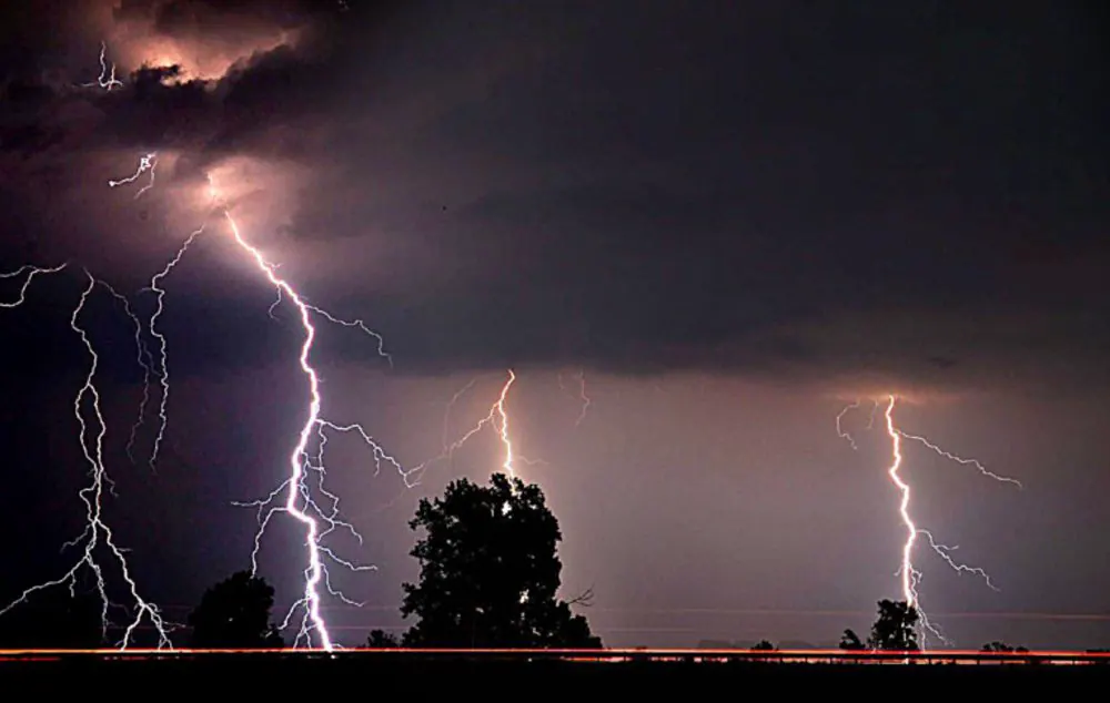
The South African Weather Service has issued an Orange Level 5 warning for severe thunderstorms affecting parts of the Northern Cape and Western Cape on Wednesday. The warning applies to the Hantam and Karoo Hoogland districts in the Northern Cape and the Central Karoo District in the Western Cape. Residents in these areas should prepare for severe thunderstorms, hail, excessive lightning, and damaging winds that could pose a danger to life and cause damage to infrastructure, homes, and vehicles.
According to forecasters, a cut-off low-pressure system developing over the western parts of the country is driving the severe weather. The thunderstorms are expected to bring large amounts of small hail, excessive lightning, and gusty winds of between 40 and 55 kilometres per hour. The weather service has warned that hail could damage vehicles and infrastructure, while difficult driving conditions could result in major travel disruptions. Livestock and agricultural production could also be affected, along with essential services.
In addition to the Orange Level 5 warning, a Yellow Level 2 warning for severe thunderstorms has been issued for a broader area, including parts of the Northern Cape, Western Cape, Free State, and KwaZulu-Natal. These areas face the risk of heavy downpours, localised flooding, excessive lightning, hail, and damage to infrastructure and vehicles. The warnings are a result of a low-pressure system that is expected to bring widespread rain and thunderstorms across the country.
The Western Cape is expected to experience cloudy and cool to warm conditions, with scattered showers and thunderstorms. Rainfall probabilities are expected to reach about 60% across much of the province, while isolated rainfall of around 30% is expected along parts of the West Coast. The Northern Cape will be partly cloudy and cool to warm, with isolated showers and thunderstorms. Rain chances are around 30% across much of the province, increasing to about 60% in southern areas.
The Eastern Cape is expected to see some of the wettest conditions, with scattered showers and thunderstorms across both the western and eastern halves of the province. Rain chances are around 60% across large parts of the province. KwaZulu-Natal will start with morning fog over the interior before becoming cloudy during the afternoon. Scattered showers and thunderstorms are forecast for most areas, with isolated storms in the extreme north-east.
Other provinces are also expected to experience scattered showers and thunderstorms, with Gauteng and Mpumalanga having a 30% chance of isolated showers and thunderstorms. The North West and Free State can expect isolated storms across much of the province, while Limpopo will be partly cloudy and warm, with isolated showers and thunderstorms confined mainly to the extreme south-western parts of the province.
No fire danger warnings or weather advisories have been issued for Wednesday. However, the South African Weather Service has urged households, farmers, and disaster management authorities to plan ahead as forecasts point to increased chances of below-normal rainfall and above-normal temperatures in the coming summer season.
Key points
- An Orange Level 5 warning has been issued for severe thunderstorms affecting parts of the Northern Cape and Western Cape.
- A Yellow Level 2 warning for severe thunderstorms has been issued for a broader area, including parts of the Northern Cape, Western Cape, Free State, and KwaZulu-Natal.
- The severe weather is expected to bring large amounts of small hail, excessive lightning, and gusty winds that could pose a danger to life and cause damage to infrastructure, homes, and vehicles.