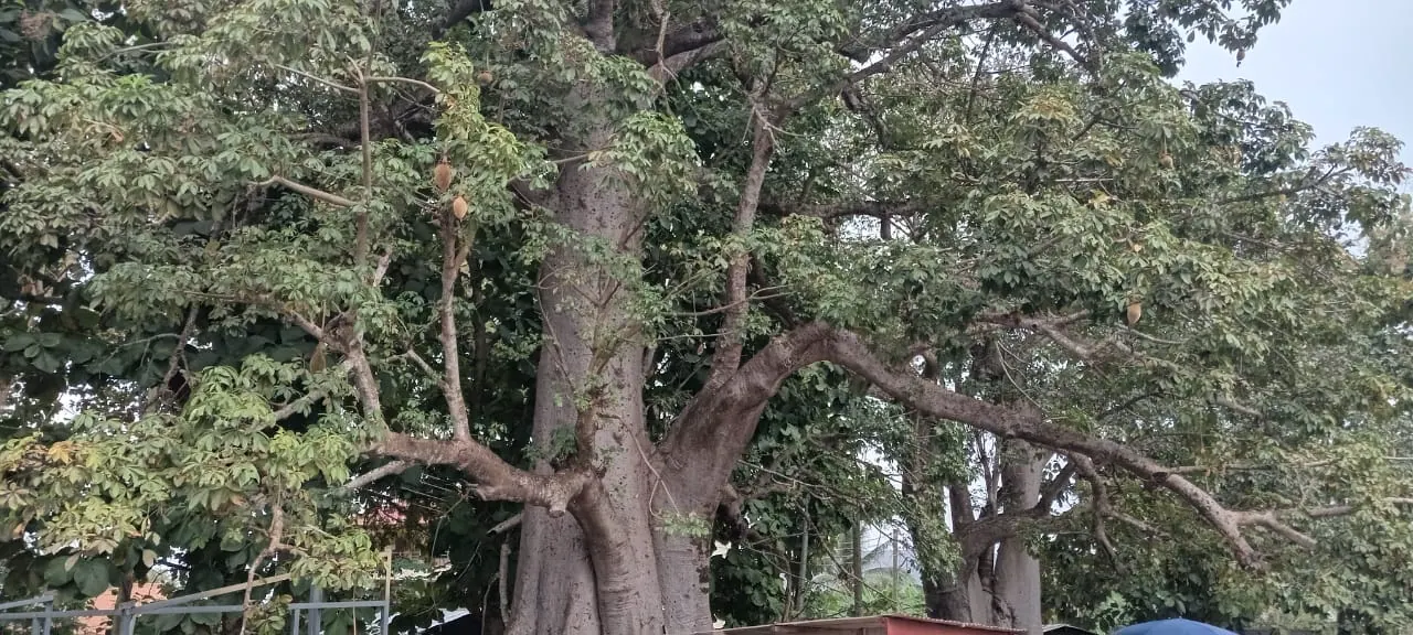
The Ho Technical University (HTU), the Centre for Scientific and Industrial Research (CSIR) – Plant Genetic Resources Research Institute (PGRRI), and Rhine-Waal University of Applied Sciences, Germany, have launched a project to map the baobab population across Ghana. The project, known as BAOMAP, aims to establish a validated national inventory atlas and geodatabase to support baobab conservation, sustainable use, policy, investment, and community livelihoods. The project is funded by Rhine-Waal University with 54,000 Euros.
The BAOMAP project will combine remote sensing and ground verification surveys to identify and classify baobab populations, collect biometric and ecological data, and produce district and national maps. The research will also establish a geo-referenced national database and generate recommendations for conservation, domestication, and commercial utilization. According to Dr. Daniel Ashie Kotey, Director of CSIR-PGRRI, the project is crucial for the conservation of the baobab tree, which is widespread in many rural and semi-rural communities in Ghana.
Dr. Kotey emphasized the importance of the baobab tree, which serves as a source of food, medicine, and meeting place for communities. He noted that the tree's leaves, fruit pulp, seeds, and bark have various uses, making it a vital component of Ghana's ecosystem. The CSIR-PGRRI has been working on baobab conservation since 2024 with the Center for International Forestry Research and World Agroforestry (CIFOR-ICRAF).
The project will target 10,000 trees in three months and provide baseline spatial data on baobab populations for long-term monitoring, genetic diversity assessment, planning, and policy. Prof. Kenneth Fafa Egbadzor, Principal Investigator at HTU, stated that the research has the potential to make baobab a lucrative industry, possibly surpassing Ghana's cocoa industry.
Prof. Ben Q. Honyenuga, Vice Chancellor of HTU, expressed optimism that the research will produce a national population-density map, regeneration hotspots, threat-risk layers, and district summaries for the sustainability of the baobab tree. He emphasized that the project will place HTU on the international research map and inform policy and research.
The project has received support from various stakeholders, including traditional and local government authorities, civil society organizations, the private sector, policymakers, farmers, processors, and consumers. Dr. Kotey appealed to all stakeholders to invest in research and make the data credible, usable, and sustainable.
The BAOMAP project is expected to run from July to December 2026, with Prof. Mathias Kleinke, an agricultural engineer and environmental researcher at Rhine-Waal University, coordinating the project with remote sensing expertise, training, and validation. The project's outcomes are expected to inform policy and research, contributing to the conservation and sustainable use of the baobab tree in Ghana.
Key points
- The project aims to establish a validated national inventory atlas and geodatabase to support baobab conservation and sustainable use.
- The research will target 10,000 trees in three months and provide baseline spatial data on baobab populations for long-term monitoring.
- The project has the potential to make baobab a lucrative industry, possibly surpassing Ghana's cocoa industry.