Tunisia is taking steps to create a comprehensive atlas to track and measure territorial vulnerabilities, following a series of natural disasters and events that have affected various regions across the country. The initiative, proposed by Webmanagercenter (WMC), aims to move beyond treating each event as an isolated incident and instead, create a permanent grid to observe and monitor vulnerabilities in each territory. This approach will enable the identification of areas prone to specific risks.
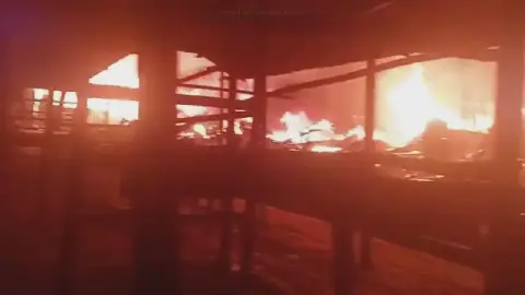
WMC's observation has identified several families of risks in different regions, including floods in Ariana, water-related issues and rural areas in Jendouba, snow and isolation in Siliana, heat and sandstorms in Kébili, and forest fires in the Northwest. These risks will be documented individually before being compared, and their juxtaposition raises questions about how to construct a permanent editorial grid to track territorial vulnerabilities. The proposed atlas will apply a common documentary grid to each of Tunisia's 24 governorates.
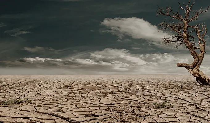
The atlas will focus on nine key dimensions, including floods, fires, droughts, heatwaves, snow, sandstorms, network vulnerabilities, exposed populations, and alert systems. The goal is not to immediately assign a risk score to each governorate but to identify available data, sources, periods, geographical granularity, and undocumented areas. This will provide a fundamental understanding of the country's vulnerabilities and enable the creation of a base that can be updated over time.
The context of this initiative is reinforced by the Tunisian Ministry of Interior's announcement on September 9, 2026, to strengthen anticipation and prevention in the national disaster management system. WMC's approach complements this effort by constructing a journalistic tool to track signals over time and relate events, territories, and vulnerabilities. The atlas will become an evolving base, with each governorate having an updatable file as data is verified.
The proposed atlas will provide a comprehensive understanding of Tunisia's territorial vulnerabilities, enabling the identification of areas that require attention and resources. By tracking and monitoring these vulnerabilities, the country can take proactive measures to mitigate the impact of natural disasters and events. The initiative has the potential to make a significant impact on disaster management and risk reduction in Tunisia.
Key data points have been identified, including 24 governorates to be integrated into the territorial matrix, nine proposed dimensions for the atlas, and five identified territorial signals in the initial corpus. However, some data points, such as the 100 MDT associated with Ariana, have not been independently verified. The initiative is expected to provide a more accurate understanding of Tunisia's vulnerabilities and inform decision-making.
The creation of the territorial risk atlas is a significant step towards enhancing disaster management and risk reduction in Tunisia. By providing a comprehensive and updatable base, the country can better prepare for and respond to natural disasters and events. The initiative is expected to have a positive impact on the country's resilience and ability to mitigate the impact of disasters.
Key points
- Tunisia aims to create a territorial risk atlas to track vulnerabilities across the country.
- The atlas will focus on nine key dimensions, including floods, fires, droughts, and network vulnerabilities.
- The initiative complements the Tunisian Ministry of Interior's efforts to strengthen disaster management and risk reduction.