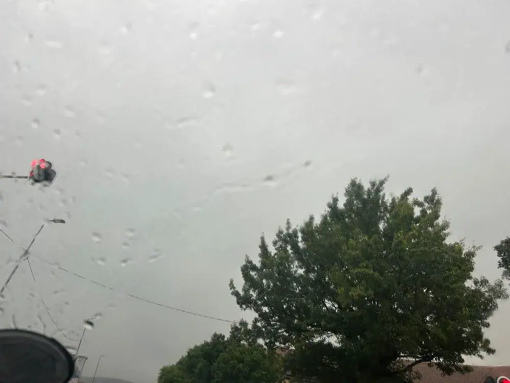
The South African Weather Service (SAWS) has issued a Yellow Level 4 warning for severe thunderstorms across several provinces on Thursday. The warning covers Gauteng, the Mpumalanga Highveld, central and southern parts of Limpopo, eastern parts of the Free State and North West, as well as most of KwaZulu-Natal, excluding the extreme north-east. Heavy downpours, flooding, damaging winds, and hail are expected to threaten communities, infrastructure, and motorists.
According to SAWS, the severe thunderstorms could result in flooding, damage to homes and other properties, and localized disruptions to electricity supply and communication networks. The weather service has also warned that strong winds and large amounts of small hail could cause significant damage in affected areas. The warning comes amid concerns about dangerous traveling conditions, with heavy rainfall potentially flooding roads, low-lying settlements, and bridges.
SAWS said atmospheric instability could support the development of severe thunderstorms, bringing damaging winds, hail, and possible flooding. The weather service warned that the storms could result in injuries and pose a danger to life, particularly in areas vulnerable to flash flooding. Other potential impacts include damage to infrastructure, vehicles, livestock, and livelihoods, as well as road closures, travel disruptions, and the possible displacement of affected communities.
Residents have been urged to exercise caution, particularly when traveling through flood-prone areas or crossing roads affected by rising water. A Yellow Level 2 warning for severe thunderstorms has also been issued for southern Limpopo, the Mpumalanga escarpment, central and western parts of the North West and Free State, and the northern interior of the Eastern Cape. These areas could experience localized flooding, damage to settlements and property, and interruptions to power supply and communications due to strong winds and hail.
Meanwhile, a Yellow Level 1 warning for damaging interior winds has been issued for eastern parts of the Northern Cape and the northern interior of the Eastern Cape. The winds could cause localized damage to settlements, affect transport routes, and create hazardous driving conditions for high-sided vehicles. Despite the widespread thunderstorm warnings, SAWS has cautioned that extremely high fire danger conditions are expected across large parts of the country.
Affected areas include much of the Northern Cape, excluding the coast and adjacent interior, most eastern parts of the Western Cape, the Eastern Cape interior, western Free State, and isolated areas of North West, Gauteng, Limpopo, and Mpumalanga. Hot and humid conditions are also expected to create extremely uncomfortable weather in eastern KwaZulu-Natal. Rainfall for central and eastern South Africa is expected, with scattered showers and thunderstorms across much of the central and eastern parts of the country.
The weather service has warned that severe thunderstorms could cause significant disruption across affected provinces throughout Thursday. Motorists are advised to avoid flooded roads and exercise caution in areas experiencing strong winds, heavy rainfall, and reduced visibility. Residents in vulnerable communities should remain alert to rapidly changing weather conditions, particularly in low-lying areas susceptible to flooding. SAWS has urged the public to monitor official weather updates as conditions develop.
Key points
- The South African Weather Service has issued a Yellow Level 4 warning for severe thunderstorms across several provinces.
- Heavy downpours, flooding, damaging winds, and hail are expected to threaten communities, infrastructure, and motorists.
- Residents have been urged to exercise caution, particularly when traveling through flood-prone areas or crossing roads affected by rising water.