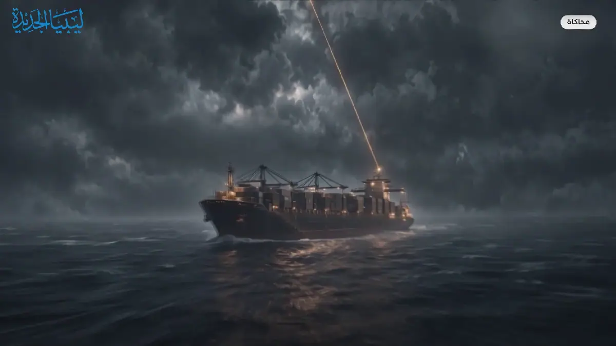
In the Gulf of Oman and Strait of Hormuz, tracking applications are displaying tankers and vessels in locations they have not reached, according to maritime reports. The issue is attributed to electronic interference with navigation systems, which has been documented by the UK's Maritime Trade Operations (MTO). Over 15,000 unusual vessel locations were reported in the last week of October, alongside 686 instances of navigation system disruption this year.
The cause of this issue lies in the nature of the US Global Positioning System (GPS). Satellites in orbit around 20,000 km above Earth transmit signals containing their location and transmission time. A GPS receiver needs signals from at least four satellites to determine its precise location and adjust its timing. However, even a slight delay in these signals can result in a vessel being displayed kilometers away from its actual location.
There are two types of electronic interference affecting navigation systems: jamming and spoofing. Jamming involves broadcasting stronger signals that overpower or interfere with satellite signals, causing vessels to lose their ability to determine their location. Spoofing, a more complex tactic, involves transmitting fake signals that mimic real satellite signals, deceiving receivers into calculating a false location or time.
These tactics are often used militarily to disrupt drone flights and precision-guided munitions. However, their effects also extend to civilian aircraft, vessel navigation systems, and integrated control systems. As a result, some pilots have had to resort to manual navigation and traditional charting methods.
The UK's Maritime and Coastguard Agency issued warnings in early October, advising vessels to rely on independent verification methods, such as radar and visual observation, and to use estimated navigation calculations. While the source of these disruptions is unclear, the frequency and patterns of unusual coordinates suggest ongoing navigation disruptions in the region.
The Strait of Hormuz, a critical waterway between Iran and Oman, is a key location for these incidents. The strait is a major route for oil and gas exports from Gulf countries to global markets. Tensions in the region have been high, with the US and Israel engaging in conflict with Iran earlier this year.
The situation highlights the vulnerability of modern navigation systems to electronic warfare. As the incidents continue, maritime authorities and vessels are being forced to adapt and rely on alternative methods to ensure safe navigation. The impact of these disruptions on global trade and security remains to be seen.
Key points
- Over 15,000 unusual vessel locations were reported in the last week of October.
- The Strait of Hormuz is a critical waterway for oil and gas exports.
- Electronic interference with navigation systems can be caused by jamming and spoofing tactics.
Reporting sources
- حرب الخرائط الصامتة.. لماذا تظهر ناقلات هرمز في مواقع لم تصل إليها قط؟ · Libya Al Jadida