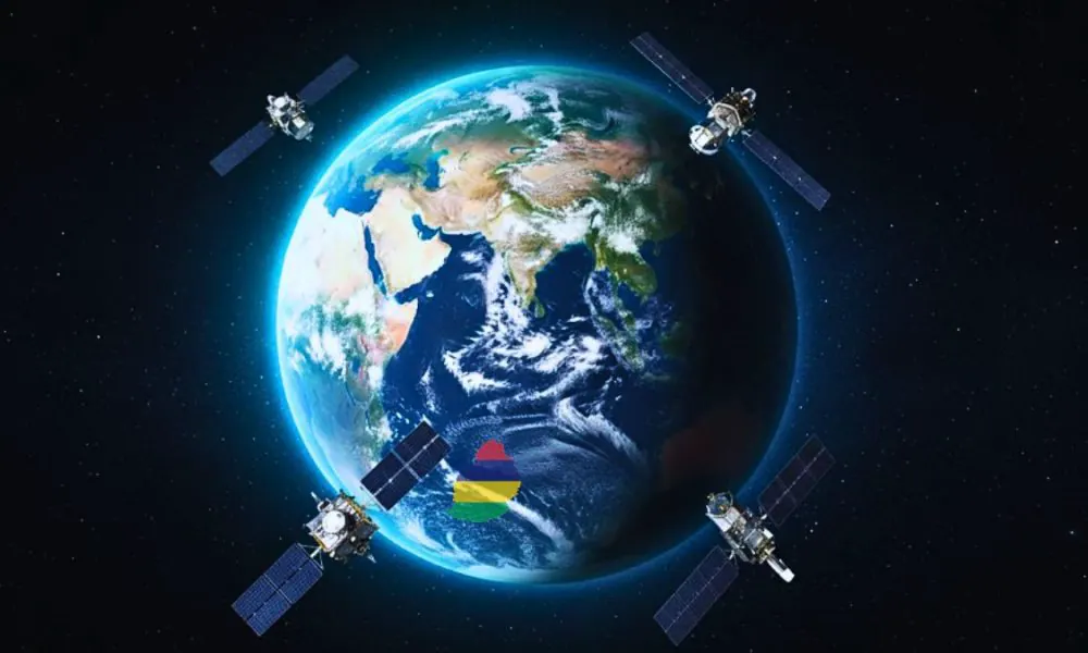
The Mauritius Research and Innovation Council (MRIC) launched the Mauritius Space Strategy 2036 on October 5, 2026, in Ébène. This roadmap aims to utilize satellite data for economic, environmental, and decision-making purposes. The strategy focuses on practical applications rather than building or launching hardware. Minister Kaviraj Sukon emphasized that Mauritius is too small to engage in satellite production, and instead, will focus on using satellite data to drive change.
The framework is built on four core pillars: skills development, strategic partnerships, research and development, and entrepreneurship. Currently, satellite imagery is being used across the country to track environmental shifts, agricultural changes, fishing patterns, and land management. This technology has the potential to greatly benefit various sectors, including agriculture and fisheries. The government plans to expand the use of satellite data in the coming years.
Minister Sukon outlined plans to translate space capabilities into everyday tools for farmers and fishers. The government aims to provide local farmers and fishers with dedicated applications accessible directly via mobile phones. This will enable them to make informed decisions and improve their productivity. The use of satellite data is expected to have a positive impact on the economy and daily life in Mauritius.
The Mauritius Space Strategy 2036 is a significant step towards harnessing the potential of satellite data for the country's growth. The strategy has been developed in response to the growing demand for data-driven decision-making. By leveraging satellite data, Mauritius aims to improve its economic competitiveness and address environmental challenges. The government is confident that this strategy will yield positive results in the long term.
The use of satellite imagery is already having a positive impact on various sectors in Mauritius. For example, it is being used to track changes in agricultural patterns, which can help farmers make informed decisions about crop management. Additionally, satellite data is being used to monitor fishing patterns, which can help the government manage fisheries more effectively.
The government plans to invest in skills development and strategic partnerships to support the implementation of the Space Strategy 2036. This will involve collaboration with international partners and the development of local expertise in satellite data analysis and application. The goal is to create a robust ecosystem that can support the growth of the space industry in Mauritius.
The Mauritius Space Strategy 2036 is a forward-thinking initiative that is expected to drive economic growth and improve decision-making in the country. By leveraging satellite data, Mauritius aims to address some of its key challenges, including environmental degradation and economic development. The strategy has the potential to transform various sectors and improve the lives of citizens.
Key points
- The Mauritius Space Strategy 2036 focuses on practical applications of satellite data rather than building or launching hardware.
- The strategy has four core pillars: skills development, strategic partnerships, research and development, and entrepreneurship.
- The government plans to provide local farmers and fishers with dedicated applications accessible directly via mobile phones.