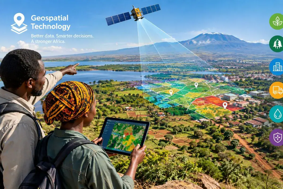
Tanzania has the potential to unlock new business opportunities and improve public services by making geospatial data more accessible, experts have said. Finnish Geospatial Research Institute network coordinator Frank Nyamahowa presented on Geospatial Technology Support for SMEs and Public Administration under the “Unlocking Growth in Africa” programme. He was speaking to Tanzanian government officials on a study tour under the Digital for Tanzania (D4T) Twinning Project.
Nyamahowa explained that location intelligence could help businesses identify markets, improve logistics, and develop services. Governments could use it to plan infrastructure and distribute public services more equitably. Location intelligence is the science of integrating data with specific places, combining maps with population projections, transport information, and other datasets. This helps authorities determine where to locate hospitals, clinics, and elderly-care facilities.
Finland’s Location Innovation Hub helps smaller businesses access expertise, testing facilities, computing resources, and networks. Startups can test digital platforms using their own or synthetic data, while computing infrastructure such as the LUMI AI Factory helps them develop and validate solutions. This approach allows businesses to experiment and learn quickly, growing rapidly without incurring significant costs.
Dr Robertson Rockestinen, another expert involved in the discussions, said Tanzania could benefit from adapting elements of Finland’s approach. Making reliable location data accessible and usable could support home-grown services across property, agriculture, forestry, transport, energy, and urban planning. This would enable local businesses to develop innovative solutions using geospatial data.
Nyamahowa cited Finland’s National Land Survey’s decision to make geospatial data freely available, which has led to the development of services for property assessment and energy planning. He asked, “What would it be if Tanzania had this kind of infrastructure, if the entire country was digitally mapped and made available for anyone to use?” This could create opportunities beyond licensing revenue.
However, Nyamahowa cautioned that African countries should not simply import foreign models without adapting them to local realities. He emphasized the need for stronger links between African innovation hubs. Tanzania has already taken steps towards developing spatial infrastructure, with the World Bank-backed Digital Tanzania Project planning to expand digital mapping and other initiatives.
Combining open data, research, testing facilities, skills, and finance could turn Tanzania’s foundations into practical solutions and viable businesses. Experts believe that making geospatial data more accessible can support the growth of local businesses and improve public services. Key initiatives, such as the Digital Tanzania Project, are underway to develop spatial infrastructure and unlock new opportunities.
Key points
- Tanzania can improve public services and unlock business opportunities by making geospatial data more accessible.
- Finland’s Location Innovation Hub provides a model for supporting smaller businesses and public administration.
- Adapting foreign models to local realities is crucial for successful implementation in Africa.