The cartographers responsible for designing the Equal Earth projection, a more accurate alternative to the Mercator map, have partnered with Togo to implement a UN resolution aimed at correcting the ancient but inaccurate map. This collaboration was announced following a historic UN vote, which passed a resolution to replace the Mercator projection with a more accurate one. The three cartographers, Tom Patterson, Bernhard Jenny, and Bojan Šavrič, have agreed to provide scientific and technical support for the implementation of the resolution.
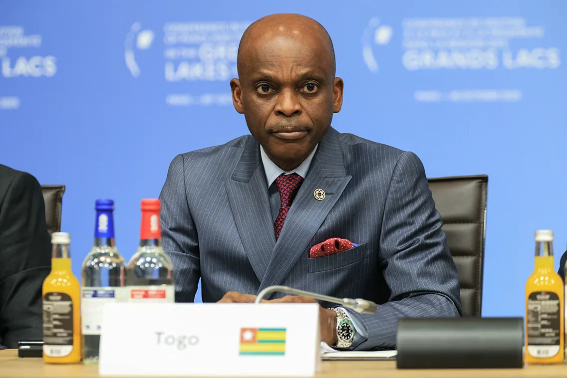
The initiative was championed by Professor Robert Dussey, Minister for Foreign Affairs of the Togolese Republic, on behalf of the African Union. Professor Dussey thanked the cartographers for their scientific work, conceived in 2018 with no political purpose, which has since become a continental reference. The Equal Earth projection was designed to respect the true land areas of continents without distorting their outlines. It was published in the International Journal of Geographical Information Science in August 2018.
The Equal Earth projection has been adopted by several prominent organizations, including NASA’s Goddard Institute for Space Studies and Esri software. The African Union has chosen this projection as its institutional cartographic reference, and it constitutes the scientific foundation of the “Correct the Map” resolution. This resolution encourages governments, schools, international organizations, media, and technology companies to use equal-area projections whenever the relative size of territories is at stake.
The partnership between Togo and the cartographers will focus on providing scientific and technical support to states and institutions that adopt equal-area projections. The development of freely usable reference maps and educational resources for African education systems will also be a key area of cooperation. The participants agreed to continue discussions within a structured framework, with Togo set to present a concept note proposing the establishment of a scientific advisory group for the implementation of the resolution.
The scientific advisory group will be established to oversee the implementation of the resolution, and the three cartographers have been invited to sit on the group in their personal capacity. Professor Dussey emphasized the importance of a fair map, stating that it does not change geography but changes the way we look at the world. He added that cognitive justice begins with the way children learn to situate their continent.
The implementation of the resolution is expected to have a significant impact on education systems, particularly in Africa. The use of equal-area projections will provide a more accurate representation of the world, allowing children to learn about their continent in a more informed way. The partnership between Togo and the cartographers is a significant step towards achieving this goal.
The collaboration between Togo and the cartographers behind the Equal Earth projection marks a significant milestone in the quest for a more accurate world map. The implementation of the UN resolution will be closely watched, and the establishment of a scientific advisory group will ensure that the process is guided by expert advice. The outcome of this initiative has the potential to shape the way we view the world and could have far-reaching implications for education and international relations.
Key points
- The cartographers behind the Equal Earth projection have partnered with Togo to implement a UN resolution aimed at correcting the ancient but inaccurate Mercator map.
- The partnership will focus on providing scientific and technical support to states and institutions that adopt equal-area projections.
- The implementation of the resolution is expected to have a significant impact on education systems, particularly in Africa.